Port of Las Palmas: A Guide to Puerto de la Luz
Cruise terminal, ferry piers, marina and container port explained
Puerto de la Luz is one of Spain's largest ports, made up of several separate areas: the cruise terminal at Muelle Santa Catalina, two ferry terminals, a marina and a container port. This guide explains where each area is and how to get between them.
Overview: Puerto de la Luz, One of Spain's Largest Ports
The port of Las Palmas, officially known as Puerto de la Luz y de Las Palmas, is one of the largest and busiest ports in Spain and in the wider Atlantic. It covers several square kilometres on the north side of the city and is split into clearly separate areas: a cruise terminal, two independent ferry terminals, a container port, a marina, and an industrial pier used by oil platforms and special vessels. These areas can lie several kilometres apart, so it helps to know in advance which one you need. This avoids wasted journeys and unnecessary waiting.
Muelle Santa Catalina – The Cruise Terminal
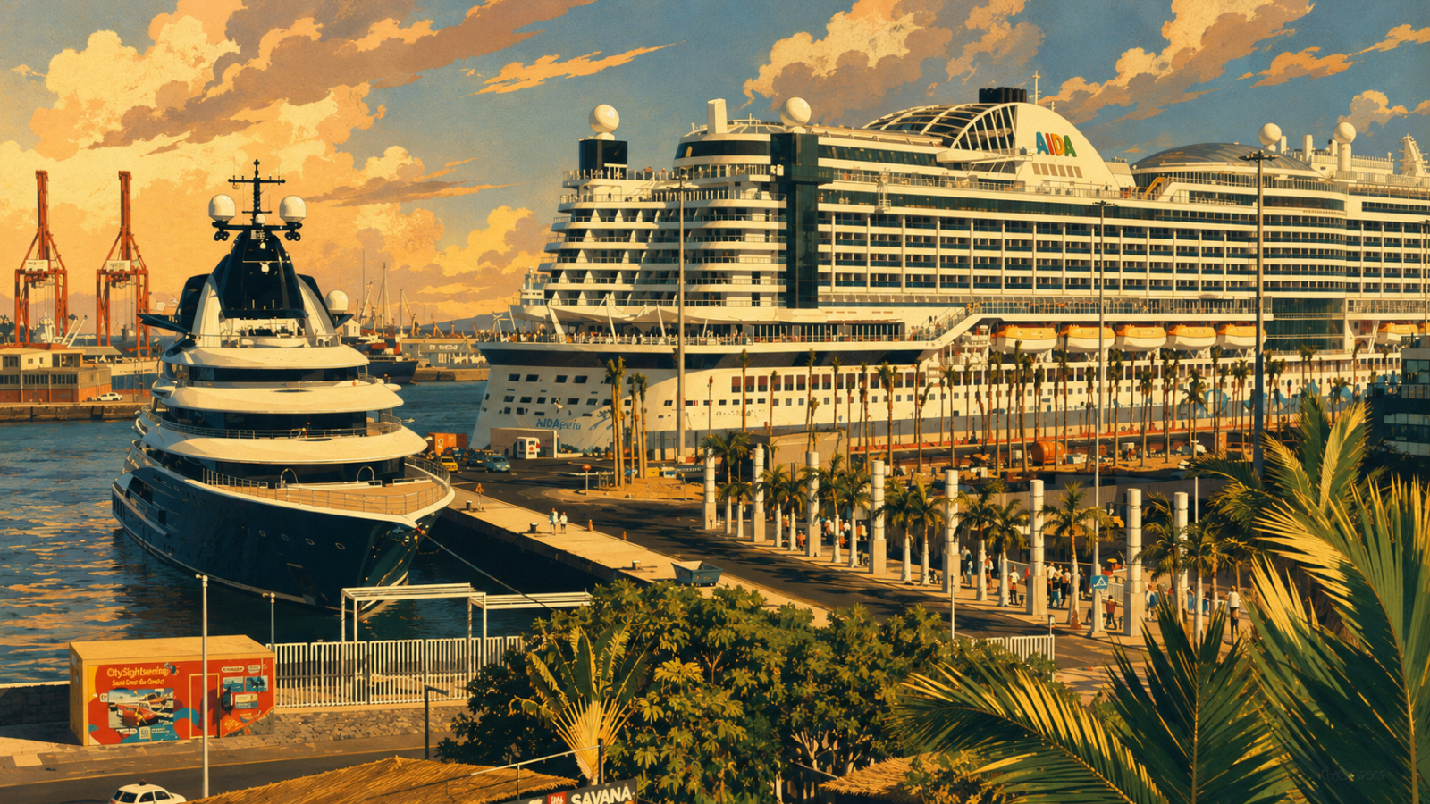
Muelle Santa Catalina is the only berth used by cruise ships in Las Palmas, including lines such as AIDA and Mein Schiff. It sits in an unusually central spot: about 500 metres from Parque Santa Catalina and the Santa Catalina bus terminal, close to Las Canteras beach, and within walking distance of most hotels in the city. Drivers can reach the pier quickly via the Avenida Marítima city motorway, which has its own "Santa Catalina / Muelle" exit, and there is a car park directly opposite.
Ferry Terminals: Fred Olsen and Naviera Armas
Unlike many visitors expect, Las Palmas does not have one shared ferry terminal. Fred Olsen Express docks right next to Parque Santa Catalina, close to the cruise terminal. Naviera Armas, on the other hand, runs its own modern terminal at Muelle Nelson Mandela, which lies further into the port and is served by its own bus route. Heading to the wrong terminal can mean missing your ferry, so it is worth double-checking which one applies to your booking.
Getting Between the Port Areas
Because the cruise terminal, ferry terminals, marina and industrial port lie some distance apart, it pays to know your exact destination before setting off. As a guide: it is around 5.3 km from Muelle Santa Catalina to the Naviera Armas terminal at Muelle Nelson Mandela, and up to 8.4 km from the Armas terminal to the marina at Muelle Deportivo – the longest distance within the port. Getting the wrong terminal or pier can easily cost half an hour rather than a few minutes, so it is worth arranging the right transfer for each combination of pier and destination in advance.
Boat Tour of the Port
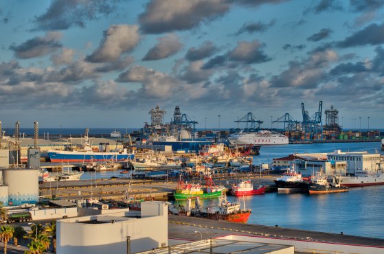
Visitors who want to see the whole port from the water can join a harbour boat tour, passing the cruise terminal, both ferry terminals, the marina and the container cranes of the cargo port.
The Container Port
The north-western part of Puerto de la Luz is one of the largest container ports in the Atlantic and a key transhipment point between Europe, Africa and the Americas. It is not open to visitors, but it can be viewed well from the water or from certain viewpoints around the city.
The Marina: Muelle Deportivo
Muelle Deportivo lies south of the cruise terminal, towards the city centre, and is a popular spot even for people with no interest in sailing. Restaurants and bars line the marina, with views over the moored yachts.
Pier Reina Sofía: Oil Platforms and Special Vessels
The Reina Sofía pier runs for more than three kilometres and often draws attention because of the oil platforms and special vessels berthed alongside it. These rigs and vessels come here for repair and maintenance work. It's worth knowing that no oil drilling takes place in Las Palmas itself – the port is used purely as a repair and maintenance base for rigs from West Africa and the wider Atlantic, which surprises many visitors.
Getting There: Transport Connections
The whole port area is served by the Avenida Marítima city motorway (GC-1) and several Guagua bus routes. The Terminal Santa Catalina bus station sits directly in front of the cruise pier, with hourly buses to the airport and to the south of the island. Bus route 18 (Guaguas Municipales) runs to the Naviera Armas terminal at Muelle Nelson Mandela. Taxis wait at every pier, with fares varying by zone and distance; a small surcharge may apply for pick-ups from within the port area. .
Nearby Attractions
| Attraction | Distance from cruise terminal | Why visit |
|---|---|---|
| Parque Santa Catalina | ~500 m | Central park right by the cruise and ferry piers, with cafés and shade |
| Playa de Las Canteras | ~800 m | One of the city's main beaches, popular for a walk or a swim |
| El Muelle shopping centre | ~400 m | Large shopping mall directly opposite the port |
| Vegueta old town | ~3 km | Historic quarter with the cathedral and museums |
Frequently Asked Questions
Which pier does my cruise ship use in Las Palmas?
All cruise ships calling at Las Palmas berth at Muelle Santa Catalina. There is no other cruise terminal in the port.
Are the ferry terminal and the cruise terminal in the same place?
Not always. Fred Olsen Express docks close to the cruise terminal, near Parque Santa Catalina, but Naviera Armas uses a separate terminal at Muelle Nelson Mandela, several kilometres away. Check your ticket for the correct terminal.
How do I get between the different port areas?
Taxis are available at every pier, and public buses connect the main terminals with the rest of the city. Because some areas lie several kilometres apart, it’s worth arranging the right transfer in advance rather than walking between piers.
Can I visit the container port?
The container port is not open to the public, but it can be seen from the water on a harbour boat tour, or from several viewpoints around the city.